With more than 25 years of experience in the market, Geosite combines deep expertise in geoprocessing with global platforms. As an official Google Cloud and Oracle partner, we deliver innovative solutions built for security, stability and scale. Our goal is to turn the complexity of the territory into tangible business results.
Challenge: Managing FTTx networks and asset documentation.
Our solution: Complete, real-time management of your fibre optic network with Geosite Telecom.
Challenge: Inefficient urban planning and low tax revenue.
Our solution: Modernised municipal management and fair tax collection through a Multipurpose Land Registry (CTM).
Challenge: High logistics costs and no control over field teams.
Our solution: Route optimisation, monitoring and real-time team tracking with Geosite Field Teams.
Challenge: Disorganised tree inventory and inspection management.
Our solution: Full control of the tree life cycle and pruning operations with Geosite Urban Forestry.
Challenge: Ineffective control of vectors such as Aedes aegypti fuels disease outbreaks.
Our solution: Aerial breeding-site mapping, prioritisation and work orders for field agents with Geosite Arbovirus.
We are the result of decades of technical expertise in georeferencing. Today, as Geosite Tecnologia, we build geographic intelligence platforms that transform infrastructure management.
Our focus is delivering solutions that guarantee absolute inventory accuracy and operational efficiency. We connect geographic data to strategic decisions, simplifying operations in complex markets.
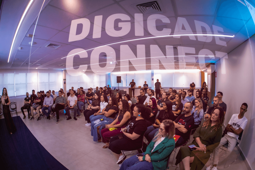
We began as Digicade, creating innovative geoprocessing solutions for the telecommunications and logistics sectors.
We joined Squadra Digital to bring our geographic intelligence expertise into a full portfolio of digital solutions.
We emerged as Geosite Tecnologia, focused on geolocation products and backed by one of the largest technology ecosystems in Brazil.
M&A — Squadra × Digicade acquisition
We build modular, end-to-end platforms designed for the specific needs of each sector. Find the right solution for your challenge:
A complete view of your network. We optimise network inventory and asset management with high-precision georeferencing, enabling strategic decisions grounded in the real geography of your infrastructure.
Smarter planning and revenue. We modernise public administration through a Multipurpose Land Registry that integrates fiscal and territorial data, ensuring tax fairness and efficient urban planning.
Smart management of your green assets. We deliver full tree inventory and health monitoring with technical diagnostics, image-based measurement and pruning schedules.
Maximum team productivity. We digitise the operation end to end, with real-time work order tracking, smart routing and technical inspections from a mobile device.
Data-driven public health. We fight dengue, Zika and chikungunya with drone-based aerial mapping, breeding sites prioritised by severity, and work orders for health agents.
Didn't find what you need? We build custom georeferencing solutions for any sector, adapting our platform to your workflow, your scale and your goals.
We are far more than off-the-shelf software. We combine modules, APIs, geographic data and specialist consulting to build exactly the solution your business needs — from the mapping to the full operational process.
Talk to a specialistGIS consulting
Assessment, strategy and implementation of geographic intelligence
Custom development
From prototype to production, with your business logic built in
Integrations & APIs
Connection to ERPs, CRMs and legacy systems via web services
Geographic data projects
Survey, processing and visualisation of spatial data
Specialist training
Enabling your teams to get the most out of the tools
Ongoing support
Post-implementation support and incremental evolution of the solution
Keep up with everything happening in the geographic intelligence market and wherever the Geosite Tecnologia name appears.
With Geosite Telecom I cut my team's time in the field considerably and gained incredible visibility over my work. I can check service feasibility while still on site, which makes negotiating with my clients far easier.
We adopted Geosite Telecom at LOViZ and it made the team's daily tasks significantly easier. Another crucial point was the customisations built for our internal routine.
Geosite Telecom is outstanding! Beyond offering a comprehensive network analysis, the platform provides detailed documentation, giving us full asset control and effective management.
Talk to a specialist.
Thank you for your interest. One of our specialists will be in touch shortly.
Integrating Geosite Telecom at Century streamlined the inventory, cutting both cost and implementation time.
Learn more
With Geosite Telecom, LOViZ migrated its data efficiently, adopted a customised system and overcame its challenges through technology.
Learn more
Cutting downtime, streamlining feasibility checks and boosting commercial efficiency through the partnership between Blink and Geosite.
Learn more